
Happy Monday!
I hope you had a great weekend.
Here's what we were up to...

Oh what a beautiful moooooorning! Actually, it was drizzling and dreary outside. But it was FRIDAY and I was RUNNING so in my book, that's a beautiful morning!
I mentioned on Saturday that I have been easing up on running due to my left hammy sometimes hurting. This morning, I ran 4 pain free miles and stopped while I was ahead. Then I did some pull ups, push ups, bicycle crunches, and donkey kicks. Chrissy "helped".

During my first class we had a fire drill. My second grade class was awesome during the drill. Even though some other classes were running and being loud, my class walked and were quiet. Ms. Michael don't play.

It was cold!
Work actually went pretty smoothly. When I got home, Paul and I sat on the back porch and drank margaritas while playing cards.

Then I made myself a super yummy Mexican dinner... tortilla chips, ground turkey, black beans, tomatoes, hot salsa, cheese, lettuce, cilantro. GARLIC. CUMIN.


GOOD MORNING, BABIES! (Just picture me screaming that in a high pitched voice.)


I worked out in my driveway with the sun beaming down. It felt so good. I did two deck of cards workouts and I am faster at them than I was last week!

Then we hit the road to Philly to meet Cheetah and Maggie's baby Lila! Driving on the Pennsylvania Turnpike is dangerous.


Paul and Lila

She is so beautiful!

Cheetah and Lila
On the way home, we grabbed dinner at a rest stop. I got this yummy sandwich from Starbucks which was... $7.84!!!! I almost fainted!

When we got home, I finished a puzzle I had been working on for a long time. It's 750 pieces. Who wants it next? (It's not hard, I was just dragging my feet on it.)


GOOD MORNING BABY JELLY!


The internet wasn't working so I couldn't do all my favorite morning activities. So I got a jump start on cooking for the week.


Roasted red potatoes seasoned with salt, pepper, and garlic. I just threw them in the oven with some olive oil.

Roasted chickpeas seasoned with salt, pepper, garlic, and a TON of cayenne pepper. I drizzled them with olive oil and popped them in the oven.


Just some frozen veggies with chickpeas ready for my lunches this week!


I cut up some cauliflower that I will roast at a later time. I didn't want to make too much!


PUDDING PIE!!!!

I actually did like 3 sets of washing and drying of dishes. This is the third stack!
Halfway through cooking, I had to run to Weis. I always try to surprise Paul with beer when I go there. These are two of his favorite "standards".

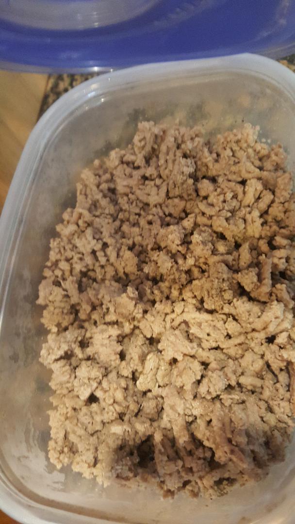
After I was done with all of my cooking, Paul grilled some chicken and made some ground turkey.

Dang, we have so much food now!

Tell me something fun you did this weekend!
Did you do any cooking?
Do you have a favorite "standard" beer?
Did you do any cooking?
Do you have a favorite "standard" beer?


